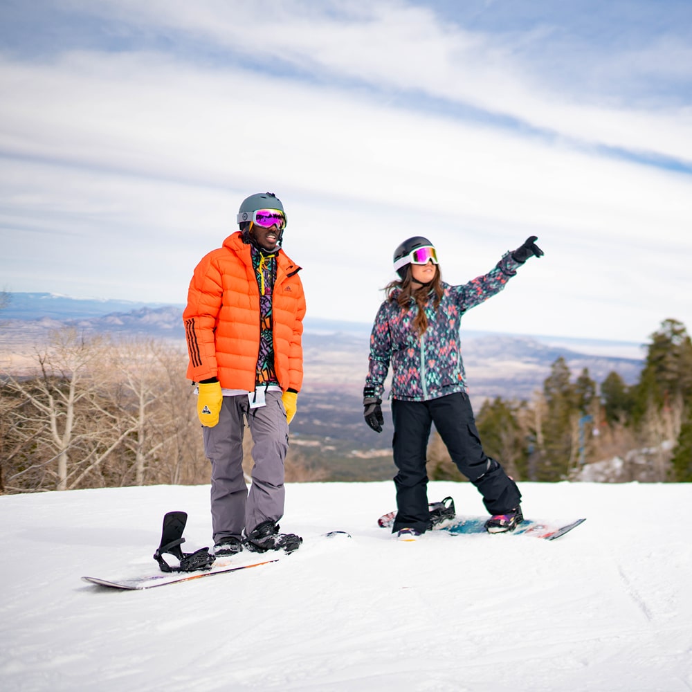
Hiking

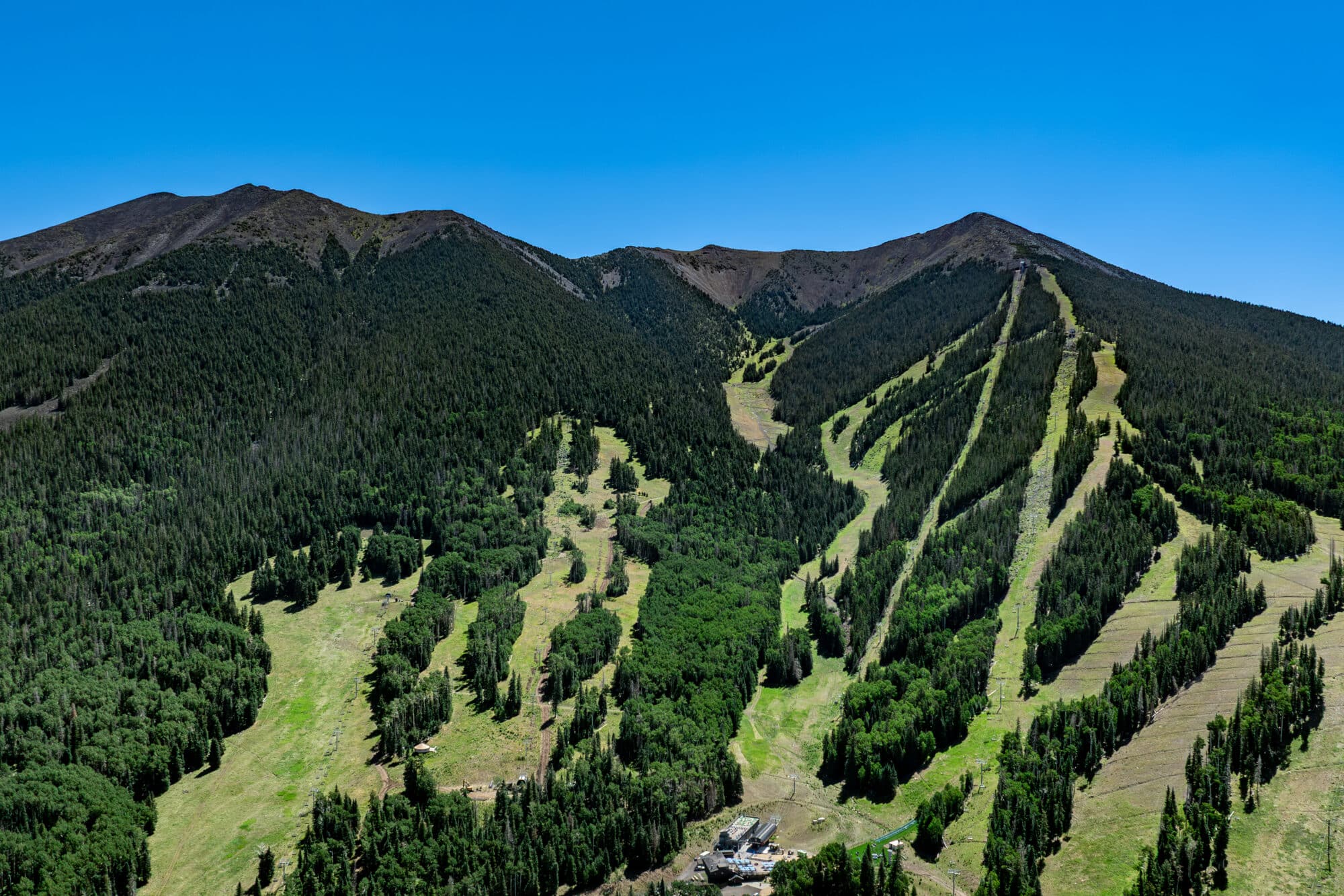
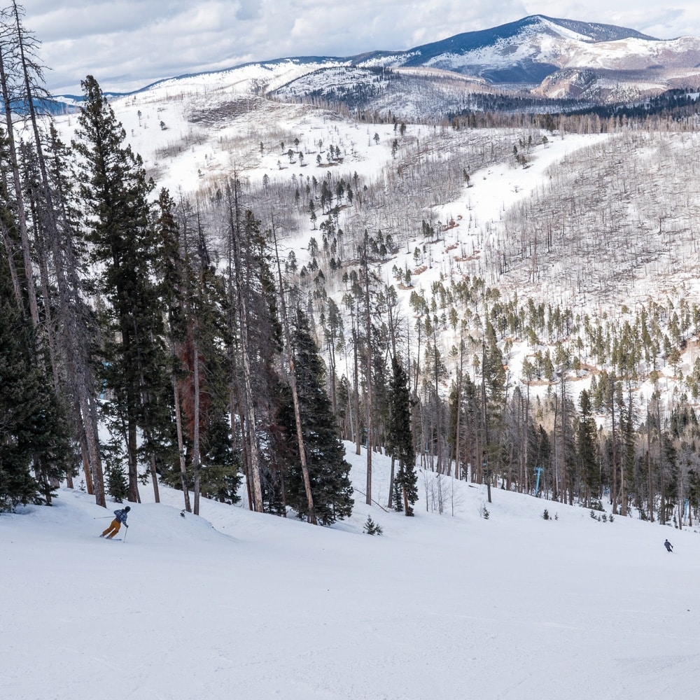
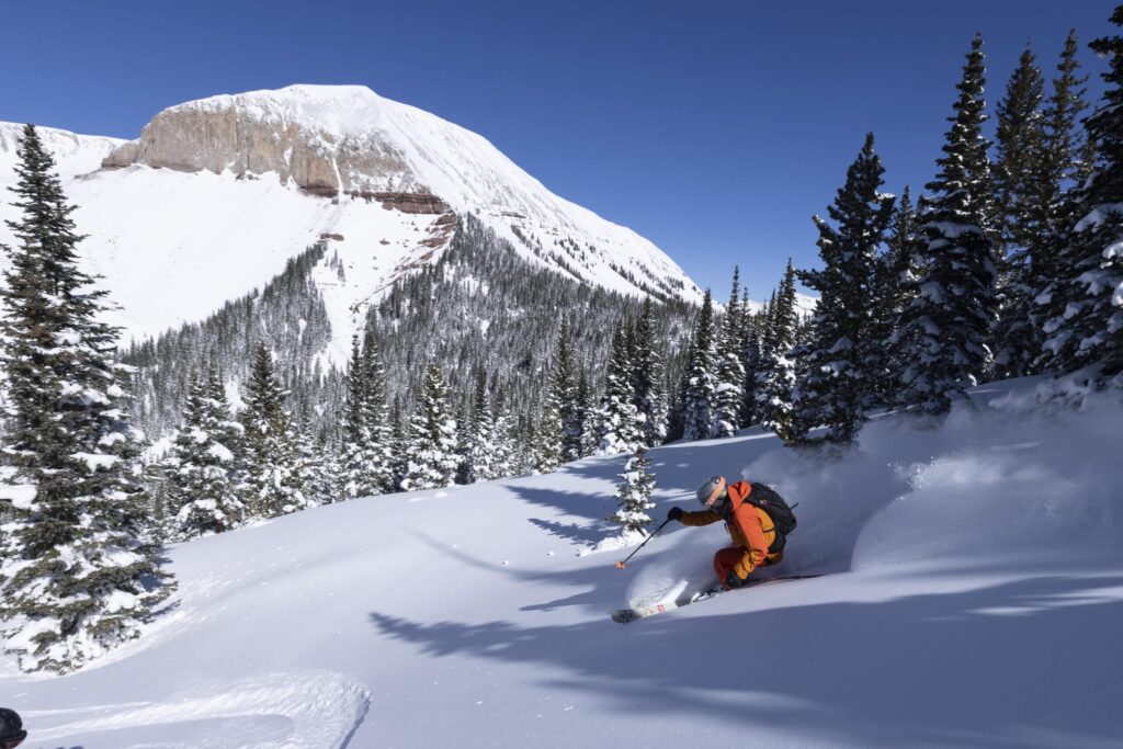
The breathtaking beauty of the San Francisco Peaks has been, and continues to be, molded by the forces of nature. The remnants of a dormant volcano, the peaks are home to some of the most spectacular hikes in the state, including a trail that leads you to the summit of Humphreys Peak, with an elevation of 12,633 feet.
Make sure you carefully plan and prepare for your hiking or backpacking trip on the San Francisco Peaks before you take off for your adventure.
Follow the golden rule of no-trace hiking and camping: “Take only pictures, leave only footprints.”
- Respect the land — do not cut switchbacks.
- Avoid wet trails if possible and avoid making new trails.
- Keep to the right of the trail — save the left for passing.
- Downhill traffic yields to uphill traffic.
- When in a group, do not block the trails; allow enough room for others.
- Enjoy your hike and please be safe!
Summit Trail
Distance: 0.25 miles
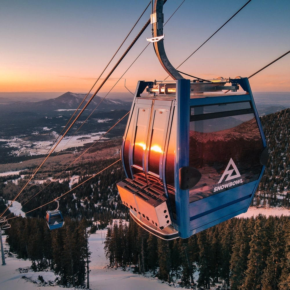
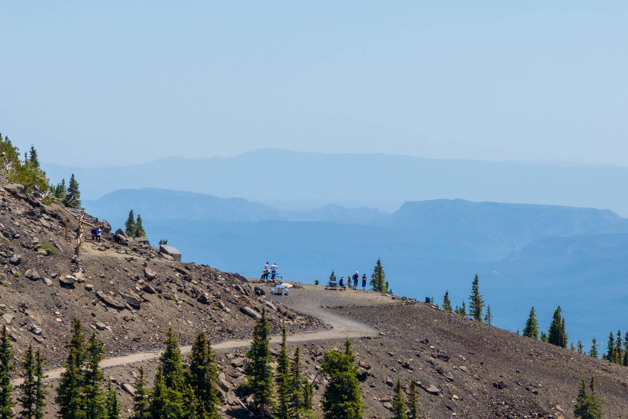
Accessible via a Scenic Gondola Ride, this short and rewarding summit walk is one of the easiest ways to experience Arizona’s high alpine scenery.
After unloading from the Arizona Gondola*, guests can enjoy an easy trail featuring one gradual switchback leading to nearly 12,000 feet in elevation. The roundtrip walk takes approximately 15 minutes and offers panoramic viewpoints, interpretive signs, picnic tables, and sweeping views of Flagstaff, Sedona, the Grand Canyon, and the surrounding San Francisco Peaks.
Perfect for families, sightseeing, and casual explorers, the summit trail delivers an unforgettable mountaintop experience with minimal hiking effort.
Please note, purchase of a Scenic Gondola Ride is necessary to access this trail.
Humphreys Peak Trail
#151 Distance: 10 miles
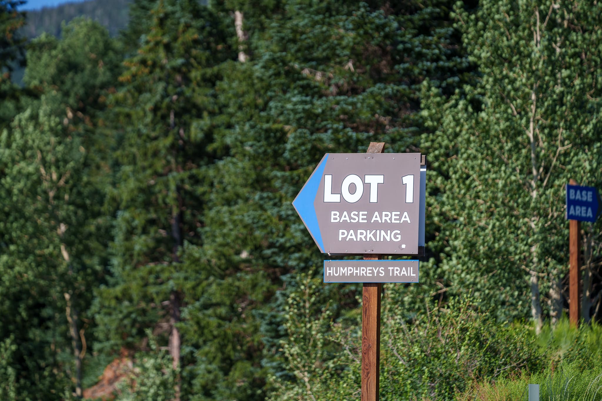
Directions: North on Humphreys St to Hwy 180. North on Hwy 180 for 7 miles (11 km) to Snowbowl Road. Turn right on Snowbowl Road, go 7 miles (11 km) to the parking lot. The trail begins at the far end of parking lot 1 on the left (north).
Description: Trail goes up Humphreys Peak (12,633 ft/ 3,850 m). Views of San Francisco Peaks mountain range, and ponderosa pine and aspen trees. Stay on the trail above the tree line.
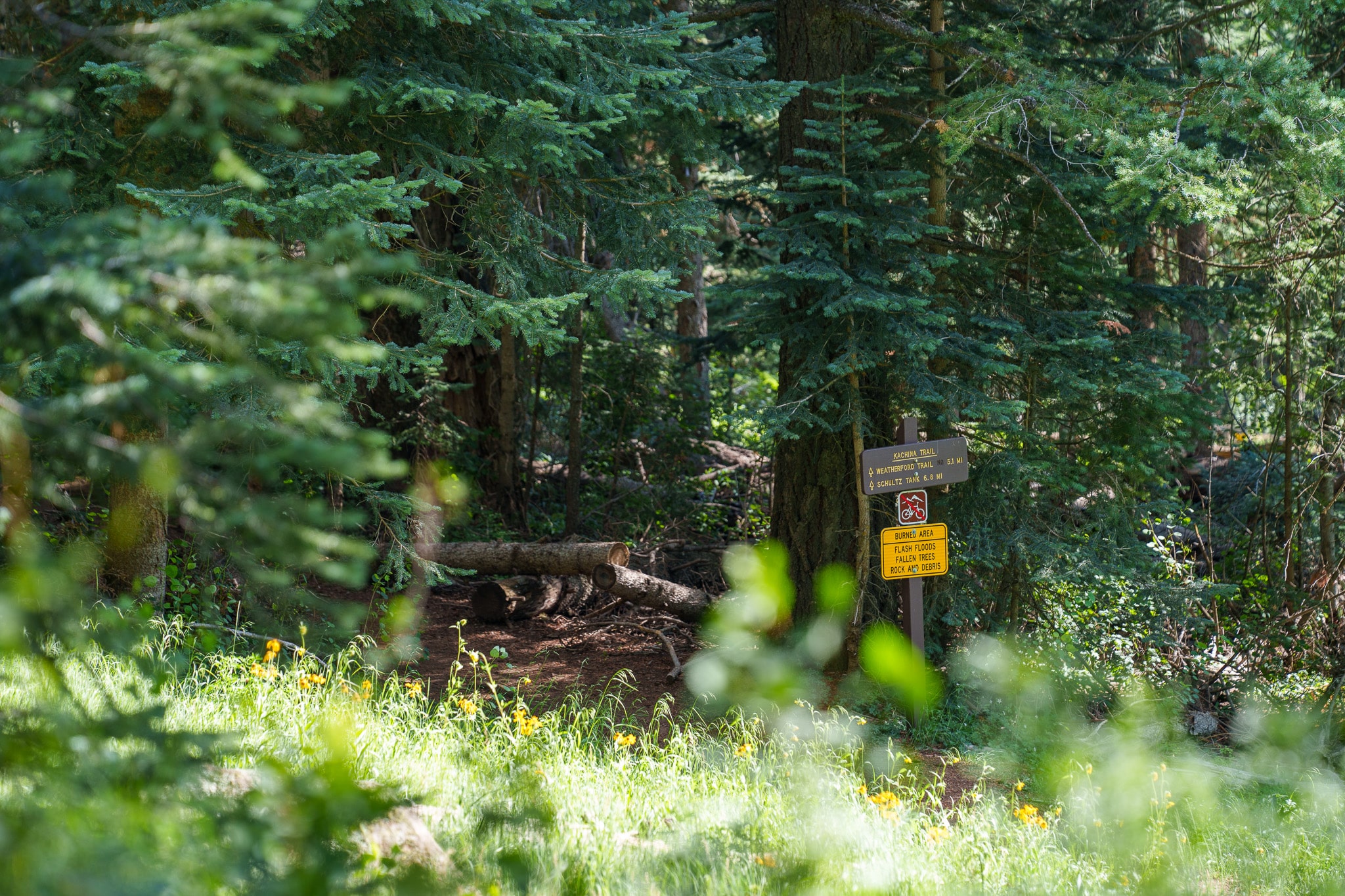
Kachina Trail
#150 Distance: 11 miles
Directions: North on Humphreys St to Hwy 180. North on Hwy 180 for 7 miles (11 km) to Snowbowl Road. Turn right on Snowbowl Road, go 7 miles (11 km) to the parking lot. The trail begins at the far end of parking lot 2 on the right (south).
Description: Views of rocky slopes, pine and aspen forest, wildflower meadows, and Flagstaff.
Aspen Loop Trail
#73 Distance: 2 miles
Directions: From Flagstaff drive north on US 180 for 7 miles (11 km) to FR 516, the Snowbowl Road. Drive 7 miles (11 km) on this paved road to the far end of parking lot 1 on the left (north).
Description: Beginning at the Humphreys Trailhead and branching west, the way leads through microhabitats where sun-loving wildflowers and grasses alternate with shade plants and ferns along the trail’s winding, 300-foot elevation change. Birds of the open glades abound: flickers, jays, juncos, and warblers. Aspen, spruce, and pine stand along the trail, including several large bristlecones. Higher up the Peaks, these trees can live well over a thousand years!
Restrictions
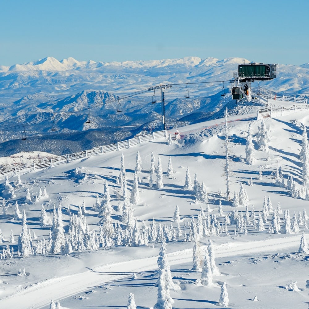
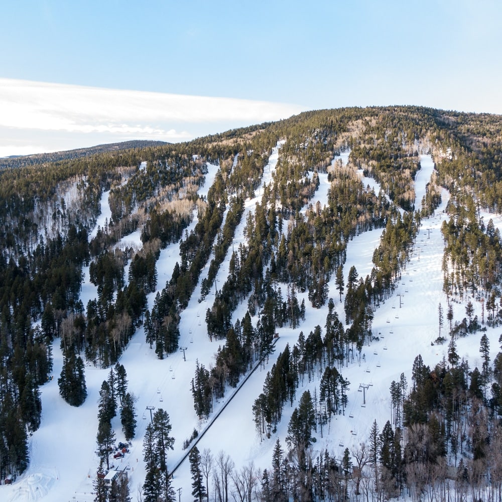
Weather on the San Francisco Peaks
The San Francisco Peaks are subject to a wide range of climate conditions. Precipitation ranges from 20 inches (50 cm) in the lower area of the mountain to over 40 inches (100 cm) on the upper slopes. Temperatures fluctuate greatly from night to day.
Precautions should be taken to avoid being caught on exposed peaks and ridge tops during northern Arizona’s regular summer thunderstorms. Plan ahead: watch approaching storms and get to a safe area before the storms hit. The safest places to be, if you do get caught in a storm, are forested areas away from ridge tops, ledges, rock outcroppings, or the tallest trees.
Several factors make it necessary to implement some restrictions — the fragile habitat of the Peaks, a threatened plant species, the Kachina Peaks Wilderness designation, and the municipal watershed for the City of Flagstaff in the Inner Basin.
Lift Access + Hiking
Backcountry hiking from the top of the Arizona Gondola is not permitted, other than a short trail to the upper observation point.
Camping
Camping is not allowed above timberline at 11,000 feet (3,352 m) or within the Inner Basin. This is to help protect the fragile tundra and the City of Flagstaff’s municipal water supply.
Campfires are also prohibited in the same areas. Fires are allowed below 11,000 ft (3,352 m). Keep them small and use only wood which will burn completely to ash. Fires should be built on mineral soil. Take care to clear burnable material from the fire area. If you pack it in, please pack it out. Do not burn garbage, foil, cans, plastic, or nylon of any kind.
Artifacts
Artifacts and ruins are a major portion of the history and heritage of the San Francisco Peaks. All items of this nature are protected by law against damage or removal. We request that you only look, admire and photograph these items.
Endangered Species
Endangered species are located above timberline; therefore, hiking is restricted to designated trails only.
For more information please contact us at [email protected].
For more information on other trails near and around Flagstaff and Arizona Snowbowl, visit the Convention and Visitor’s Bureau website.